Crossing the Tomales Bay Bar
After waiting for favorable tide height and stage, offshore swell and wind conditions, and consulting with local boaters and Lawson’s Landing, we made it across the Tomales Bay entrance sandbar on November 7.
"Rogue waves created by a deadly mix of tidal patterns and geographic formations near Dillon Beach, have claimed as many as 13 people in one year.” (ContinuousWave Forum 05/24/2005)
The short video highlights our crossing and some navigation hazards.
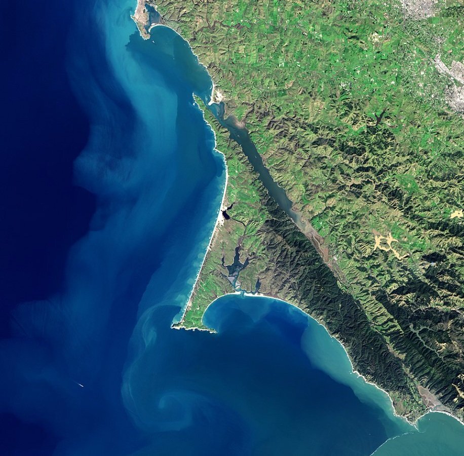
Tomales Bay opens to the north and is the narrow body of water between Point Reyes National Seashore to the west and mainland California to the East. The bay sits on, and is a geological consequence of, the San Andreas Fault. (NASA Earth Observatory images by Jesse Allen, using Landsat data from the U.S. Geological Survey)
VIDEO: Navigating shallow, shifting sandbars off Seal Cove and at the Tomales Bay bar in sailing vessel Resilience under power. (2:45 min)
Leave a comment below if you’ve crossed the Tomales Bay sandbar and have insights or cautions to share, or if you have questions. We are not experts, but consulted with many experts who have published their advice or shared it with us. We thank them all.

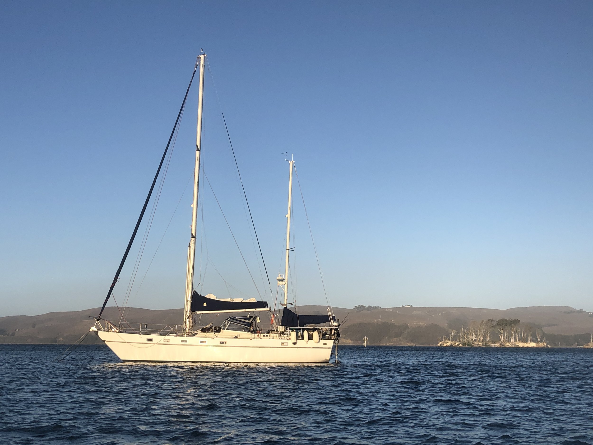
S/V Resilience, a Contest 44 ketch, at anchor in Tomales Bay with Hog Island to the east.
Tomales Bay is a regional treasure.
Safe Boating!
—Beth

Beth Ann Mathews